top of page
URBAN SPRAWL ANALYSIS
Urban Analysis using Remote Sensing
Los Angeles
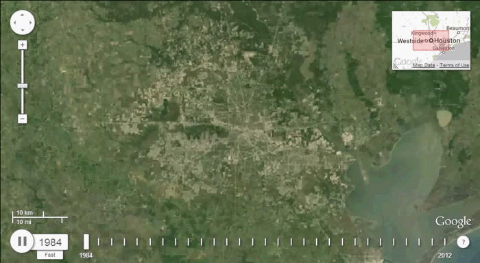
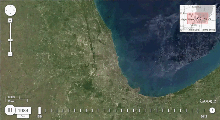
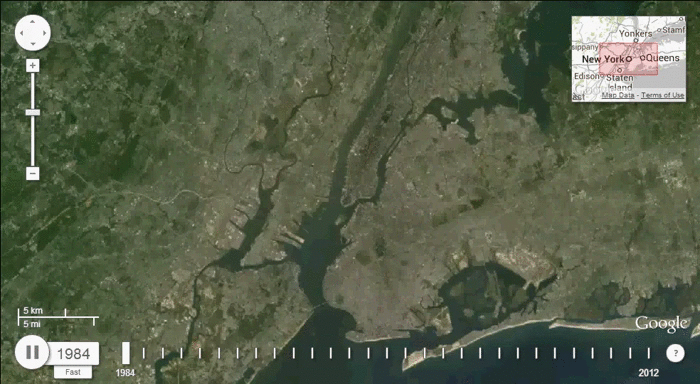
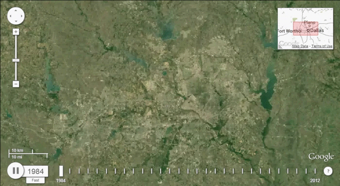
NASA and the USGS (U.S. Geological Survey) have been recording satellite imagery of the earth since the 1970's as part of the Landsat program. In a recent collaboration between the Landsat program and Google, Landsat imagery from 1984 to 2012 was used to produce time lapse images of major cities, to analyze urban growth. Pictured here are the time lapse images for five large and growing urban areas in the United States. Follow the link below for the original article, as well as more time lapse imagery.
https://www.citylab.com/equity/2013/06/devastating-impact-30-years-sprawl-seen-space/5955/

Houston
Chicago
New York
Dallas - Ft. Worth
bottom of page